awwwards.com /1 month ago

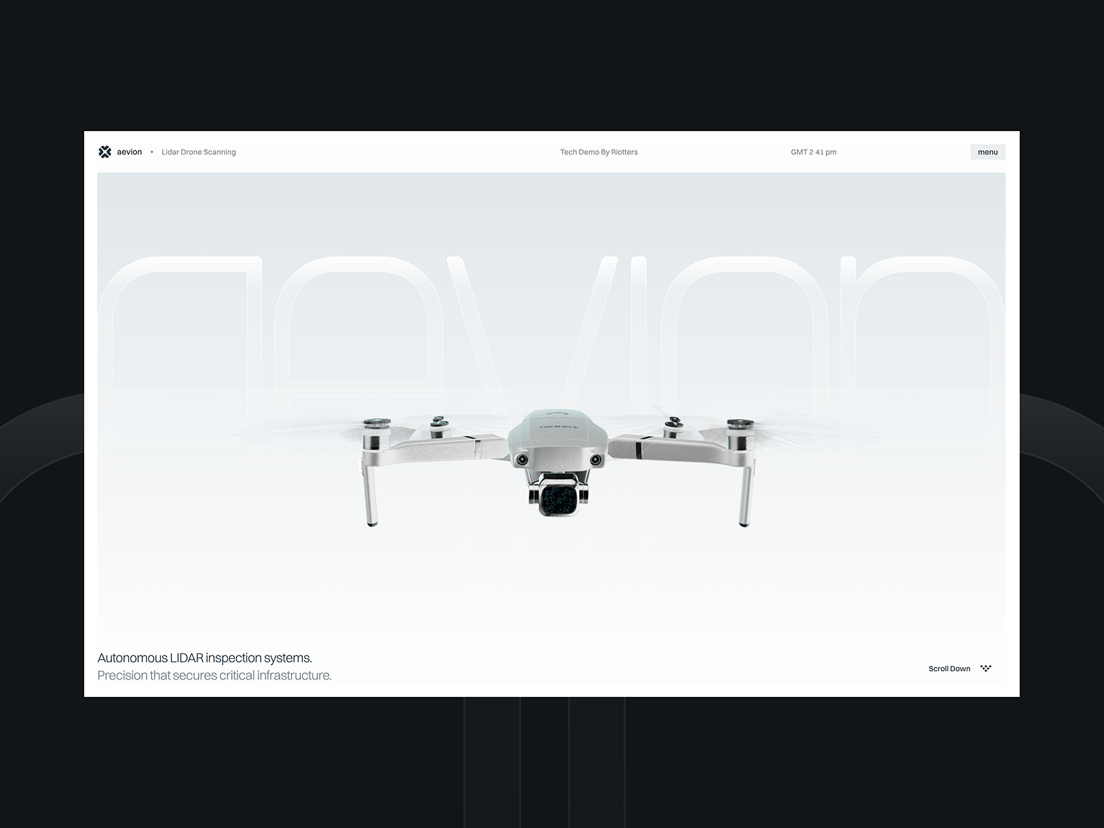
Lidar Drone Scanning

A Riotters R&D experiment turning raw drone LIDAR scans into a real-time 3D point cloud, rendered live in the browser with WebGL.

Read source
internationalsecurityjournal.com /1 month ago

Expanding LiDAR manufacturing into the western world

ISJ hears exclusively from Elad Hofstetter, Chief Business Officer at Innoviz Technologies, about how LiDAR is emerging as a foundational sensing layer in modern defence and is pow...

Read source
electronicsforu.com /3 weeks ago

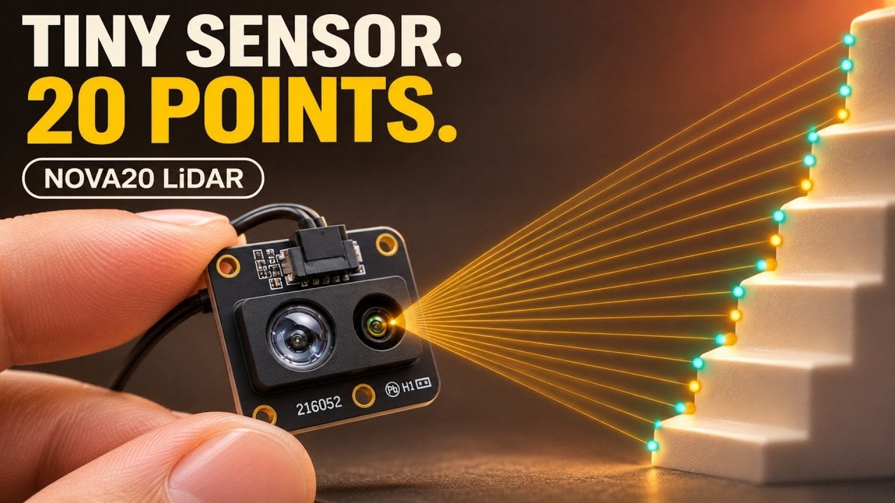
LiDAR Sensor Helps Robots Avoid Obstacles

A LiDAR sensor uses 20 channels to help robots detect obstacles, measure distances, avoid falls, and prevent collisions indoors and outdoors. Benewake has introduced NOVA20, a soli...

Read source
geeky-gadgets.com /5 days ago

Pair the Benewake NOVA20 with an ESP32 for 20-Channel LiDAR

The Benewake NOVA20 uses 20 detection channels across a 40° field of view to measure distance in multiple directions without a rotating scanner. Paired with an ESP32, the sensor ca...

Read source
qchron.com /3 weeks ago

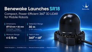
Benewake Introduces Compact, Power-Efficient SR Series 360° 3D LiDARs for Mobile Robots; SR18 Enters Mass Production

BEIJING, Oct. 30, 2026 /PRNewswire/ -- Benewake today introduced its SR Series, a family of compact, power-efficient 360° 3D LiDARs designed for mobile robots. The initial lineup c...

Read source
newswire.com /1 month ago

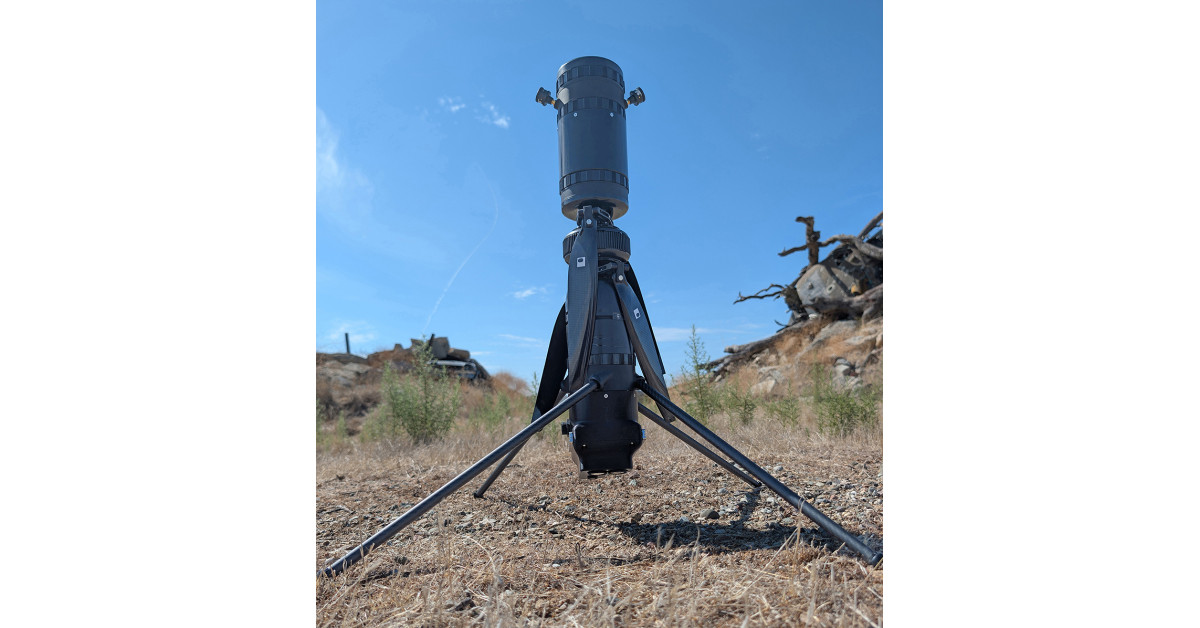
MicroVision and Robinson Unmanned Advance Lidar Integration for Real-Time Aerial Mapping

MOVIAâ„¢ Air Plus integration with Robinson Unmanned's Blue UAS-Cleared SPIRIT UAS brings real-time perception and mapping capability to US and allied nation forces

Read source
electronicsforu.com /3 weeks ago

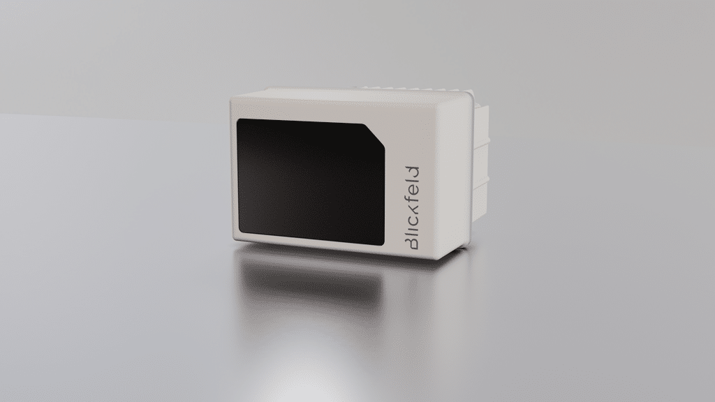
Indoor 3D Security LiDAR Optimised for Short-Range Applications

A 3D sensor detects intrusions, identifies reach-through attempts, triggers alarms, and monitors indoor areas without recording faces or personal information. Blickfeld has introdu...

Read source
phys.org /1 month ago

NASA's CASALS instrument bridges gaps in 3D maps of Earth's surface

A team of researchers at NASA's Goddard Space Flight Center (GSFC) has developed a new instrument designed to eliminate blind spots between lines of lidar data on Earth's surface....

Read source
pandaily.com /1 month ago

Hesai Launches Kosmo, a 3D World Data Engine With an 8K AI Spatial Camera

Lidar maker Hesai launched Kosmo, pairing the Kosmo One 8K AI spatial camera with the Kosmo World cloud platform to turn real spaces into 3D assets for robot training and world mod...

Read source
automotiveworld.com /1 month ago

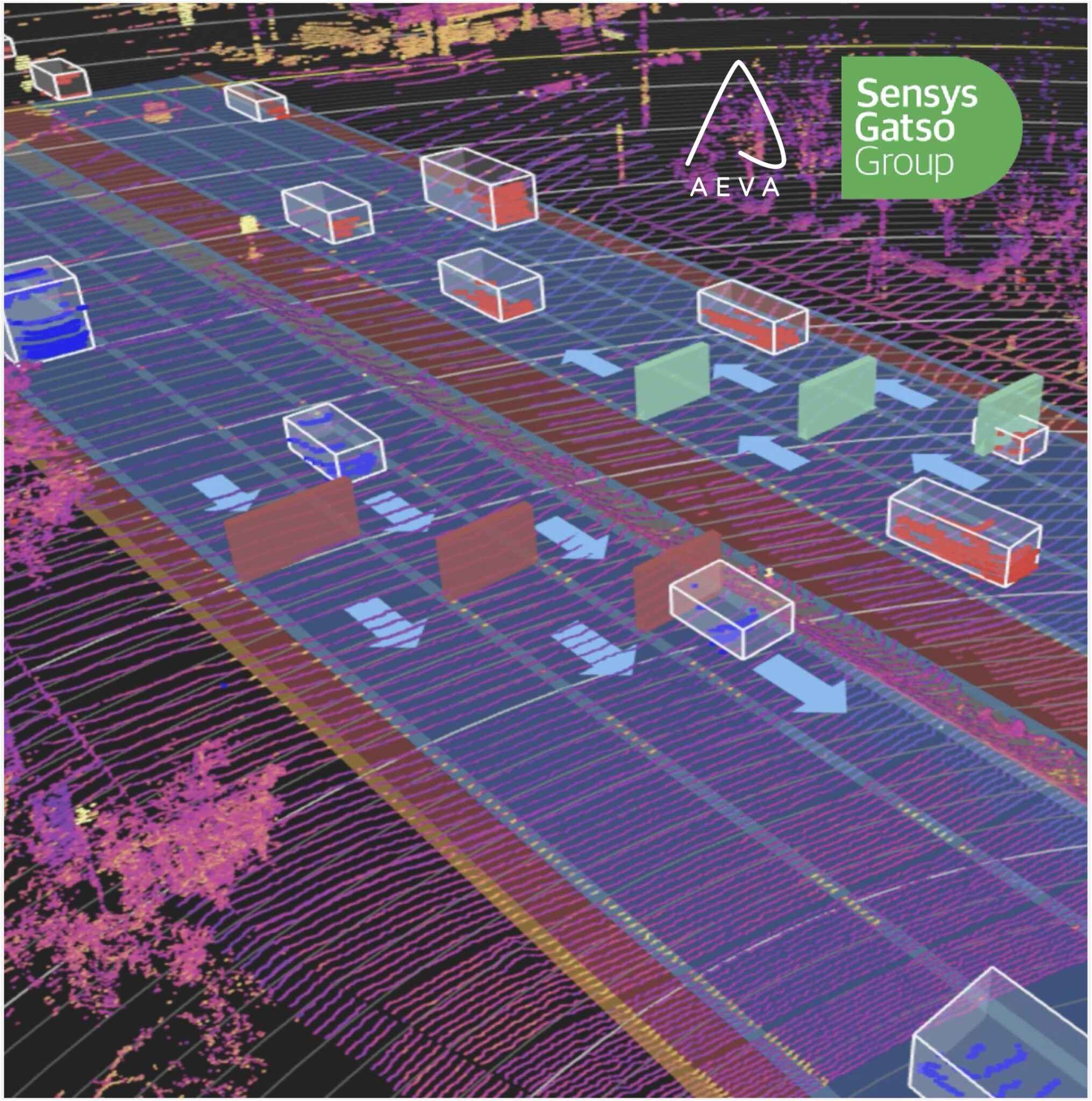
Aeva LiDAR certified for speed enforcement in Australia

Aeva's Atlas 4D lidar has been certified in Australia as a secondary speed sensor in Sensys Gatso's automated enforcement systems The post Aeva LiDAR certified for speed enforcemen...

Read source
qchron.com /2 weeks ago

MicroVision and LAKE FUSION Technologies Sign Multi-Year Strategic Partnership Agreement for IRIS Lidar Sensors.

Partnership progresses from initial testing to commercial deployment, bringing MicroVision's long-range lidar technology to LFT’s advanced airborne situational-awareness solutions

Read source
habr.com /1 day ago

Зеркальная аугментация лидара: почему при больших углах наклона отражателя дрон перестаёт видеть тёмные препятствия

Установка плоского зеркала перед лидаром позволяет заглянуть в слепые зоны под дроном без лишнего веса и механики. Но что происходит с лазерным импульсом при двойном отражении? Про...

Read source
automotiveworld.com /1 month ago

AEye LiDAR joins Liteon camera fusion demo in Barcelona

AEye and Liteon are making the case that no single sensor can carry automated driving, and that fusion is becoming the baseline The post AEye LiDAR joins Liteon camera fusion demo...

Read source
newswire.com /3 weeks ago

Vadzo Imaging Positions Falcon-234MGS: 2MP Onsemi AR0234 Mono Global Shutter USB Camera for Motion Accurate Aerial Inspe...

The Falcon-234MGS is a 2MP Onsemi AR0234 Mono Global Shutter USB Camera, and Vadzo is positioning it for motion-accurate aerial inspection and UAV navigation. Software that navigat...

Read source
suasnews.com /3 weeks ago

The weakest part of every survey job is the delivery. So we built our own

A South African fixed-wing LiDAR operator on why gigabytes of finished survey data still reach

Read source
newswire.com /1 month ago

MicroVision IRIS Long-Range Lidar Selected by Overland AI for Its Next-Gen IBEX Autonomous Ground Vehicle

Read source
newswire.com /1 month ago

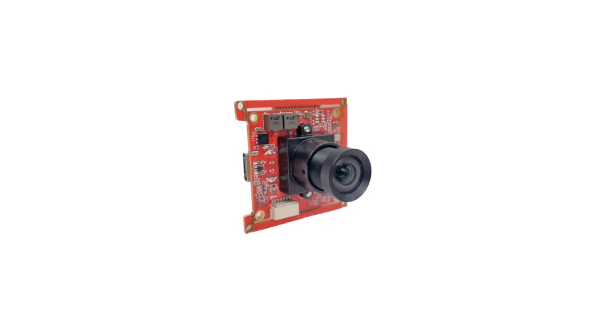
Vadzo Imaging Positions Falcon-234CGH 2MP AR0234 Global Shutter Autofocus USB Camera with Auto Exposure for Forklift Aut...

Vadzo Imaging positions the Falcon-234CGH, a 2MP global shutter autofocus USB camera built on the Onsemi AR0234 sensor. The validation program confirms stable focus and exposure pe...

Read source
haaretz.com /5 days ago

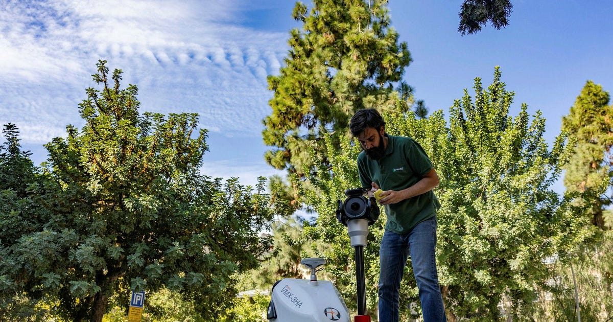
The Google Street View of trees? Jerusalem maps its urban forest with lasers

A technology that fires millions of laser beams per second will generate a digital ID for every tree in Jerusalem, helping ensure their well-being

Read source
newswire.com /1 month ago

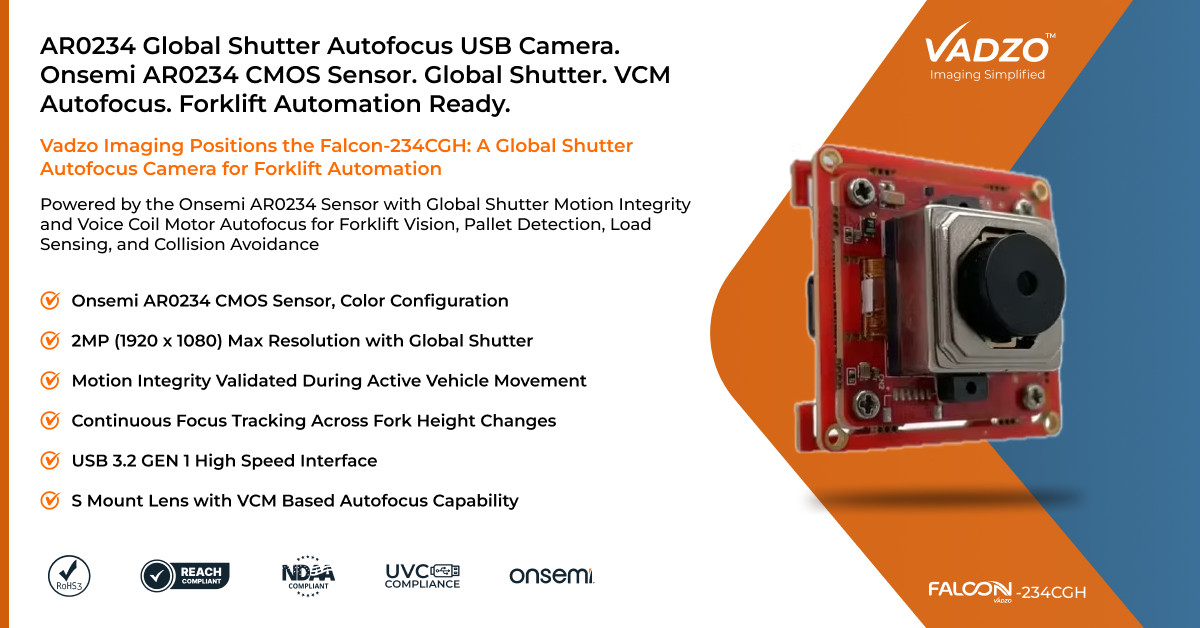
Vadzo Imaging Positions Falcon-234CGH 2MP Onsemi AR0234 Global Shutter Autofocus Color USB Camera for Forklift Automatio...

The Falcon-234CGH is a 2MP color global shutter Autofocus USB camera built on the Onsemi AR0234 sensor and paired with voice coil motor autofocus, a combination positioned specific...

Read source
planetizen.com /4 days ago

How a Massachusetts city used laser beams to find the root of its tree loss

How a Massachusetts city used laser beams to find the root of its tree loss Zachary Whalen Wed, 11/18/2026 - 05:00 Primary Image Pr...

Read source
webwire.com /1 week ago

DJI Matrice 5T Uplevels Intelligent Aerial Operations, Day or Night for Challenging Missions

DJI, the global leader in civilian drones and creative camera technology, introduces DJI Matrice 5T. The company's newest compact enterprise flagship drone integrates LiDAR, mmWave...

Read source
geeky-gadgets.com /3 weeks ago

Deepseek V4.1 Flash Hits 1,286 Tokens per Second in New Tests

Deepseek V4.1 Flash has emerged as a standout in the AI landscape, blending speed, versatility and cost-efficiency to tackle a wide range of challenges. As highlighted by Matthew B...

Read source
scmp.com /1 month ago

Chinese researchers say missile lidar model can spot US F-35 at up to 61.5km

A computer simulation developed by Chinese researchers suggests that a missile-borne system with the latest light detection and ranging system, or lidar, could detect and track an...

Read source
newswire.com /3 weeks ago

Vadzo Imaging Validates LI-HDR and eDR on Falcon-830CRH: Onsemi HyperLux LP AR0830 8MP 4K HDR Autofocus USB 3.2 Gen 1 Ca...

The Falcon-830CRH is an 8MP 4K HDR Autofocus USB 3.2 Gen 1 Camera built on the Onsemi HyperLux LP AR0830 sensor, and Vadzo has validated its LI-HDR and eDR modes. Camera units at k...

Read source

Turn fresh research into a full content calendar

Use SocialBu to discover ideas, generate post drafts, and schedule them across your social channels.