cloud.google.com /1 month ago

Introducing Ask, a new Google Earth Engine feature to accelerate geospatial coding

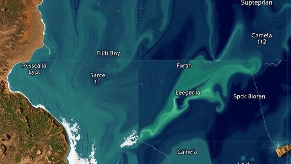
Whether you are mapping global forest cover, detecting changes in the built environment, or monitoring agricultural yields, writing scripts in Google Earth Engine is a powerful way...

Read source
googlemapsmania.blogspot.com /1 day ago

Search the Planet with AI

The satellite image above shows an area of recent deforestation in the Amazon. I found this example using a new satellite imagery search tool from Planet, which allows you to searc...

Read source
openstreetmap.org /1 week ago

Sentinel-2 em falsa cor no JOSM, de graça, pelo Copernicus

Quem mapeia no interior do Brasil conhece o problema: a imagem do Bing ou da Esri é antiga, cheia de nuvem ou simplesmente não mostra se aquela estrada é asfaltada ou de terra. O S...

Read source
openstreetmap.org /1 week ago

Sentinel-2 false color in JOSM, for free, via Copernicus

If you map rural areas, you know the problem: Bing or Esri imagery is old, cloudy, or simply doesn’t show whether a road is paved or dirt. Sentinel-2 solves a good part of that. It...

Read source
blog.google /1 month ago

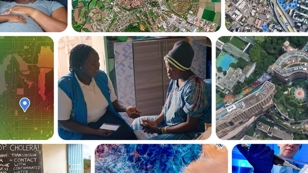
Making global public health more proactive with Google Earth AI

Google is helping health leaders overcome reporting lags, forecast disease outbreaks, and deliver care to vulnerable communities.

Read source
openstreetmap.org /1 week ago

Sentinel-2 en falso color en JOSM, gratis, con Copernicus

Si mapeas zonas rurales, conoces el problema: las imágenes de Bing o Esri son antiguas, tienen nubes o simplemente no muestran si un camino está asfaltado o es de tierra. Sentinel-...

Read source
bioengineer.org /2 days ago

Subtropical Shanzai Watershed Modeled Carbon Uptake Rebounded Strongly by 2024

A cloud-based remote sensing assessment reveals that the humid subtropical Shanzai Reservoir watershed maintained positive net ecosystem production across three distinct benchmark...

Read source
wnynewsnow.com /1 month ago

What Is Earth Observation Analytics?

Earth observation has transformed the way organizations understand what is happening across the planet. Satellites and other remote-sensing technologies can collect enormous quanti...

Read source
googlemapsmania.blogspot.com /2 weeks ago

A Neon Matterhorn

For Day 2 of the #30DayMapChallenge, the theme is Lines. For my contribution, I've created MapterGLOW, an interactive 3D terrain map that turns elevation data into glowing neon con...

Read source
googlemapsmania.blogspot.com /1 month ago

Providing Global Relief

Bert Spaan has taken Mapterhorn's global terrain data to create an interactive global Relief map. What is particularly interesting about this new map is that, unlike traditional to...

Read source
theverge.com /3 weeks ago

Google’s satellite AI server transmits its first response to Earth

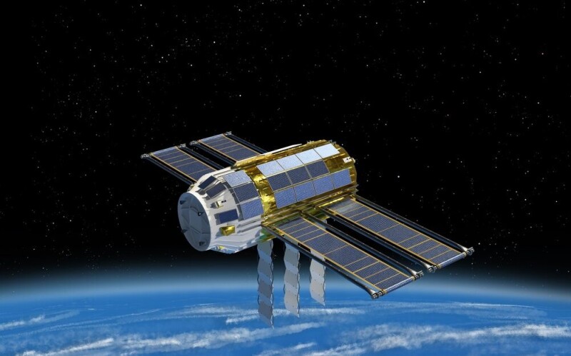
Google's AI chip-equipped satellite has generated its first response from space. In a blog post on Friday, Google says it successfully booted up the satellite's Tensor Processing U...

Read source
awwwards.com /1 month ago

Lidar Drone Scanning

A Riotters R&D experiment turning raw drone LIDAR scans into a real-time 3D point cloud, rendered live in the browser with WebGL.

Read source
webwire.com /2 weeks ago

Kanopia: Monitoring Forests with Drones and AI

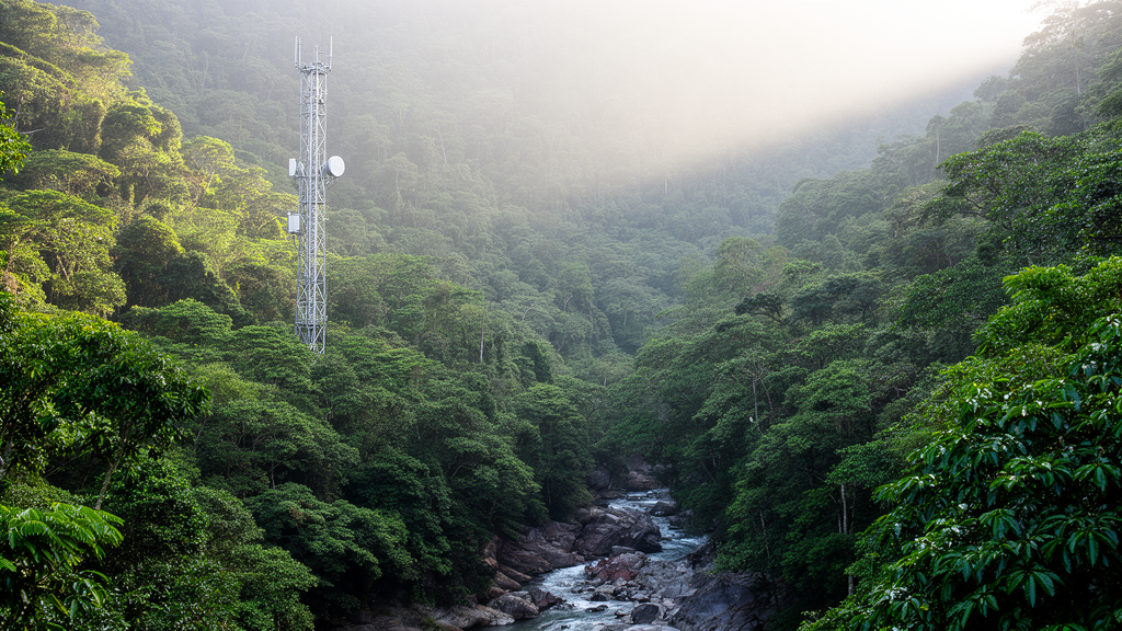
Forests are major carbon sinks threatened by climate change and human activity, yet monitoring them at scale remains a great scientific challenge. To solve it, Etienne LalibertïÂ...

Read source
googlemapsmania.blogspot.com /1 week ago

GeoGuessr in Space

I've spent too much time in my life playing GeoGuessr, trying to work out where in the world I am from little more than a road sign, a distant mountain or the architecture of a nea...

Read source
blog.google /1 week ago

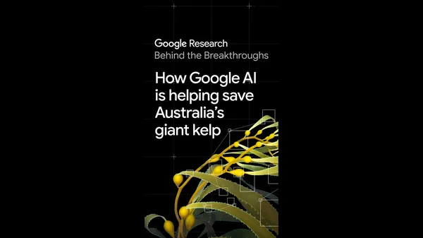
Scientists are using Google AI to help restore giant kelp forests.

Underwater forests of giant kelp protect coastlines, provide habitat, and support marine ecosystems — but they’re disappearing worldwide due to ocean warming. As COP31 k…

Read source
googlemapsmania.blogspot.com /1 month ago

The Satellites of Mars

There are lots of 3D maps that visualize the tens of thousands of human-made satellites orbiting the Earth, such as SatelliteeXplorer and James Darpinian's See a Satellite Tonight,...

Read source
openstreetmap.org /1 week ago

Sentinel-2 en fausses couleurs dans JOSM, gratuitement, via Copernicus

Si vous cartographiez des zones rurales, vous connaissez le problème : l’imagerie Bing ou Esri est ancienne, nuageuse, ou ne permet tout simplement pas de savoir si une route est g...

Read source
bioengineer.org /1 month ago

Deep Learning Teaches Satellites to Watch Soil Moisture Change Within a Single Day

A localized convolutional neural network trained on ASCAT satellite radar data outperforms the operational soil moisture product and, during heavy rainfall events, can detect how s...

Read source
sciencedaily.com /1 month ago

Europe's new Sentinel-3C satellite just sent back spectacular images of Earth

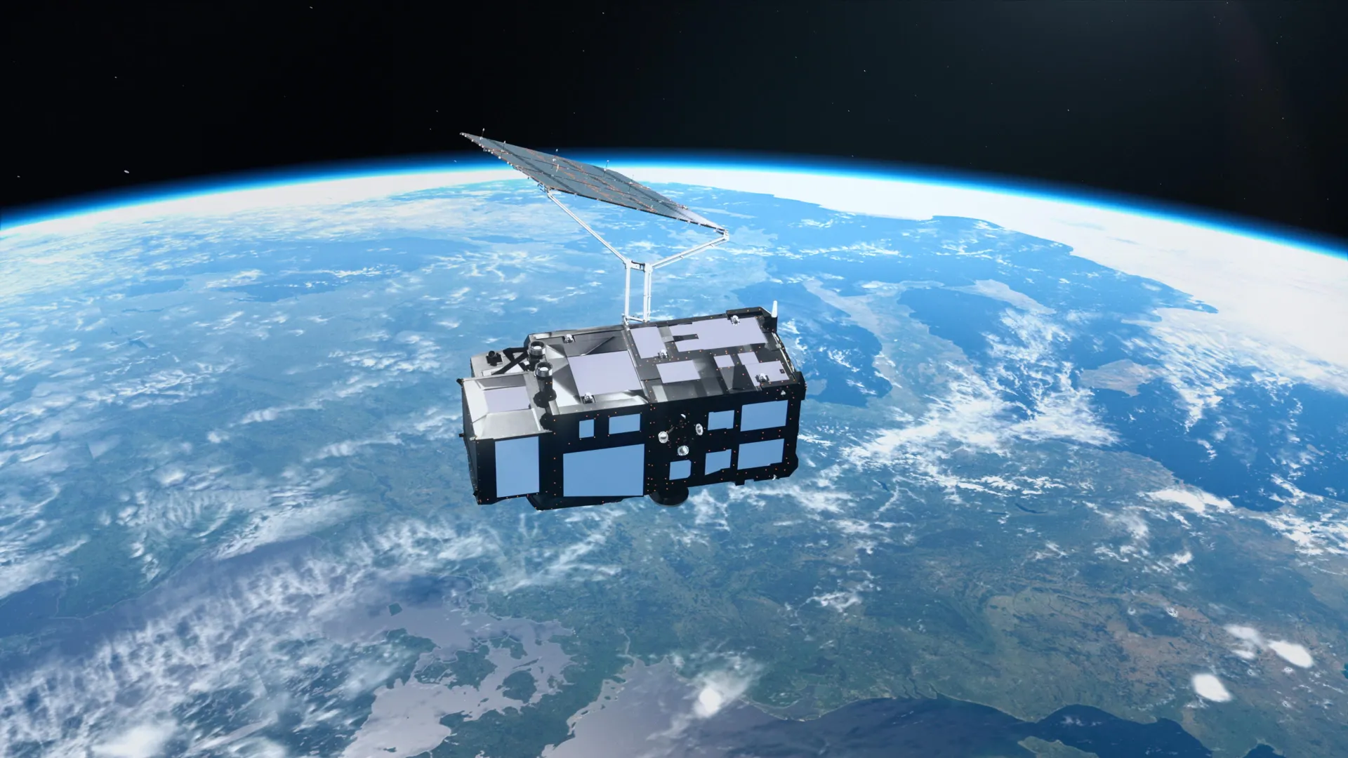
Europe's Sentinel-3C satellite has returned breathtaking images of Earth just two weeks after launch, revealing the snowy Alps, frozen Arctic islands, and brilliant turquoise Carib...

Read source
theregister.com /3 weeks ago

Google's AI satellite sends a very expensive haiku to Earth

Experimental orbital datacenter prototype puts its TPU to work producing poetry

Read source
prweb.com /6 days ago

Pegasus Introduces GlideAI, a Web Platform for Accelerating Solar Installation Workflow

Pegasus has introduced GlideAI, a single web tool to simplify and dramatically accelerate the entire workflow for residential and commercial solar projects. Users enter the project...

Read source
openstreetmap.org /1 week ago

Sentinel-2 в ложных цветах в JOSM бесплатно через Copernicus

Если вы картируете сельскую местность, вам знакома проблема: снимки Bing или Esri старые, в облаках или просто не показывают, асфальтирована дорога или грунтовая. Sentinel-2 во мно...

Read source
haaretz.com /5 days ago

The Google Street View of trees? Jerusalem maps its urban forest with lasers

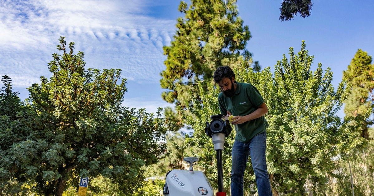
A technology that fires millions of laser beams per second will generate a digital ID for every tree in Jerusalem, helping ensure their well-being

Read source
dramarnathgiri.blogspot.com /2 weeks ago

Present satellite


Read source

Turn fresh research into a full content calendar

Use SocialBu to discover ideas, generate post drafts, and schedule them across your social channels.